David Rumsey Map Collection
About
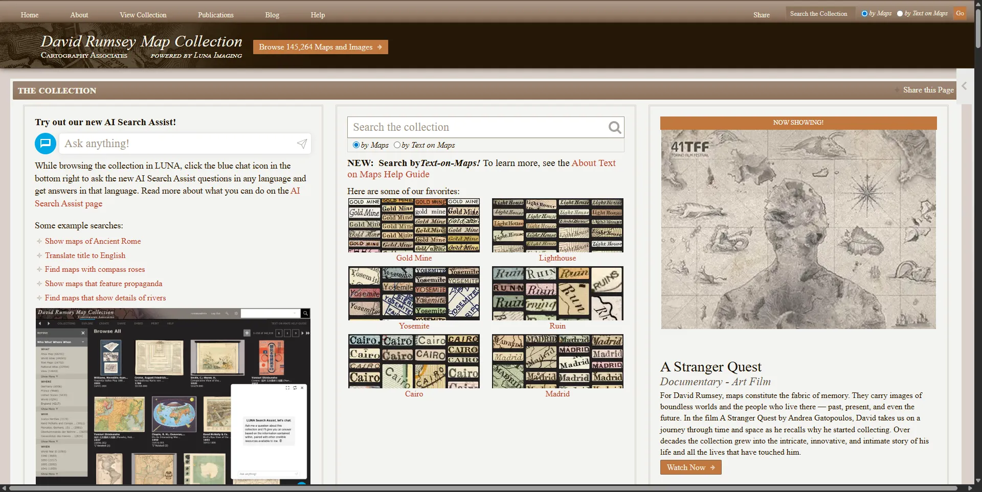
The David Rumsey Map Collection provides free access to over 150,000 high-resolution historical maps from the 16th through 21st centuries, with many available for download and use as reference material for artists and designers.
David Rumsey Map Collection: 150,000 Historical Maps for Artists and Designers
The David Rumsey Map Collection is one of the most extraordinary free resources available for artists, designers, and researchers who work with historical maps and cartographic imagery, providing free access to over 150,000 high-resolution historical maps from the sixteenth through the twenty-first centuries. Assembled by collector David Rumsey over several decades and made freely available online, the collection is one of the largest and most comprehensive historical map collections in the world, covering maps from every continent and every period of modern cartographic history.
Historical maps are one of the most visually rich and artistically significant categories of historical document, combining scientific precision with decorative artistry in ways that make them genuinely beautiful as well as historically informative. The decorative cartouches, sea monsters, compass roses, and other ornamental elements that characterise historical maps are among the most distinctive and visually appealing aspects of historical graphic design, and they provide an extraordinary source of inspiration and reference for contemporary artists and designers.
The Collection Scope
The collection scope is one of the most impressive aspects of the David Rumsey Map Collection, covering maps from every part of the world and every period of modern cartographic history. The collection includes maps from the earliest period of European cartographic exploration in the sixteenth century through the detailed topographic maps of the twentieth century, providing a comprehensive view of the development of cartographic knowledge and technique over five centuries.
The world maps and atlases are among the most celebrated items in the collection, with major examples of the great atlas traditions of the sixteenth and seventeenth centuries including works by Ortelius, Mercator, Blaeu, and other leading cartographers of the period. These atlases are among the most beautiful and historically significant printed books ever produced, combining extraordinary cartographic accuracy with lavish decorative illustration that makes them genuine works of art.
The city plans and views are another important category, with detailed plans of major cities from around the world spanning several centuries of urban development. The city plans are particularly valuable for artists and designers who work with historical urban subjects, providing detailed documentation of the specific layout and character of historical cities that is not easily available from other sources.
The nautical charts document the development of maritime cartography from the earliest portolan charts of the medieval period through the detailed hydrographic surveys of the nineteenth century. The nautical charts are particularly valued for their decorative qualities, with many examples featuring elaborate compass roses, sea monsters, and other ornamental elements that make them genuinely beautiful as well as historically significant.
The celestial maps document the history of astronomical knowledge and the specific ways in which different cultures have represented the night sky. The celestial maps are particularly valued for their decorative qualities, with many examples featuring elaborate illustrations of the constellations that are among the most beautiful examples of scientific illustration ever produced.
The Decorative Elements
The decorative elements of historical maps are one of the most important aspects of the collection for artists and designers, providing an extraordinary range of reference material for cartouches, borders, compass roses, and other ornamental elements that characterise historical cartographic design. These decorative elements reflect the specific aesthetic sensibilities of different periods and cultures, and they provide a rich source of inspiration for contemporary designers who want to incorporate historical cartographic aesthetics into their work.
The cartouches are particularly rich, with examples ranging from the simple text boxes of early maps through the elaborate baroque cartouches of the seventeenth and eighteenth centuries that feature figures, animals, and architectural elements in complex decorative compositions. The cartouche tradition is one of the most distinctive and visually rich aspects of historical cartographic design, and the David Rumsey collection provides an extraordinary range of examples.
The compass roses are another important decorative element, with examples ranging from simple directional indicators through elaborate multi-pointed stars with decorative flourishes that make them genuine works of art. The compass rose tradition is one of the most distinctive aspects of historical nautical cartography, and the collection provides a comprehensive range of examples from different periods and traditions.
The Search and Viewing Interface
The David Rumsey Map Collection provides an excellent search and viewing interface that allows browsing and searching across the full collection. The search allows filtering by date, region, cartographer, and other parameters, making it possible to find maps relevant to specific research or creative needs.
The high-resolution viewing tool allows maps to be examined in extraordinary detail, with zoom levels that allow individual decorative elements to be studied at a level of detail that is not possible with physical maps. This high-resolution viewing capability is particularly valuable for artists and designers who want to study the specific techniques and details of historical cartographic illustration.
The georeferencing feature allows historical maps to be overlaid on modern maps, making it possible to compare historical and contemporary geography and to understand how specific places have changed over time. This feature is particularly valuable for historians and researchers, but it is also useful for artists who want to understand the specific geographic context of historical maps.
Practical Uses for Artists
For illustrators and designers who work with historical or fantasy cartographic subjects, the David Rumsey collection provides an extraordinary range of reference material covering the full range of historical cartographic styles and decorative traditions. The ability to study the specific decorative elements of historical maps in high resolution is genuinely valuable for artists who want to create maps in historical styles.
For concept artists who work on fantasy or historical settings, the collection provides detailed documentation of the specific visual language of historical cartography that can inform the creation of maps for fictional worlds. The specific conventions of historical cartographic design, including the specific ways in which different types of terrain, water, and settlements are represented, provide a rich vocabulary for creating convincing fictional maps.
The Bottom Line
The David Rumsey Map Collection is one of the most extraordinary free resources available for artists, designers, and researchers who work with historical maps and cartographic imagery, providing access to over 150,000 high-resolution historical maps from five centuries of cartographic history. For artists and designers who want access to historical cartographic imagery for reference, inspiration, or study, the David Rumsey collection is an essential and genuinely irreplaceable resource.
Key Features
Pros
Cons
Categories
Supported Formats
Site Statistics
Image Library
150,000+ maps
Monthly Visitors
Millions
Founded
1996
Rating
Platform Details
Pricing Model
FreeLicense Type
Varies by item
Resolution
Very High Resolution
Download Limit
Unlimited (registration for high-res)
Usage Rights
Technical Features
Tags
More Stock Sites
Discover other stock image sites you might be interested in
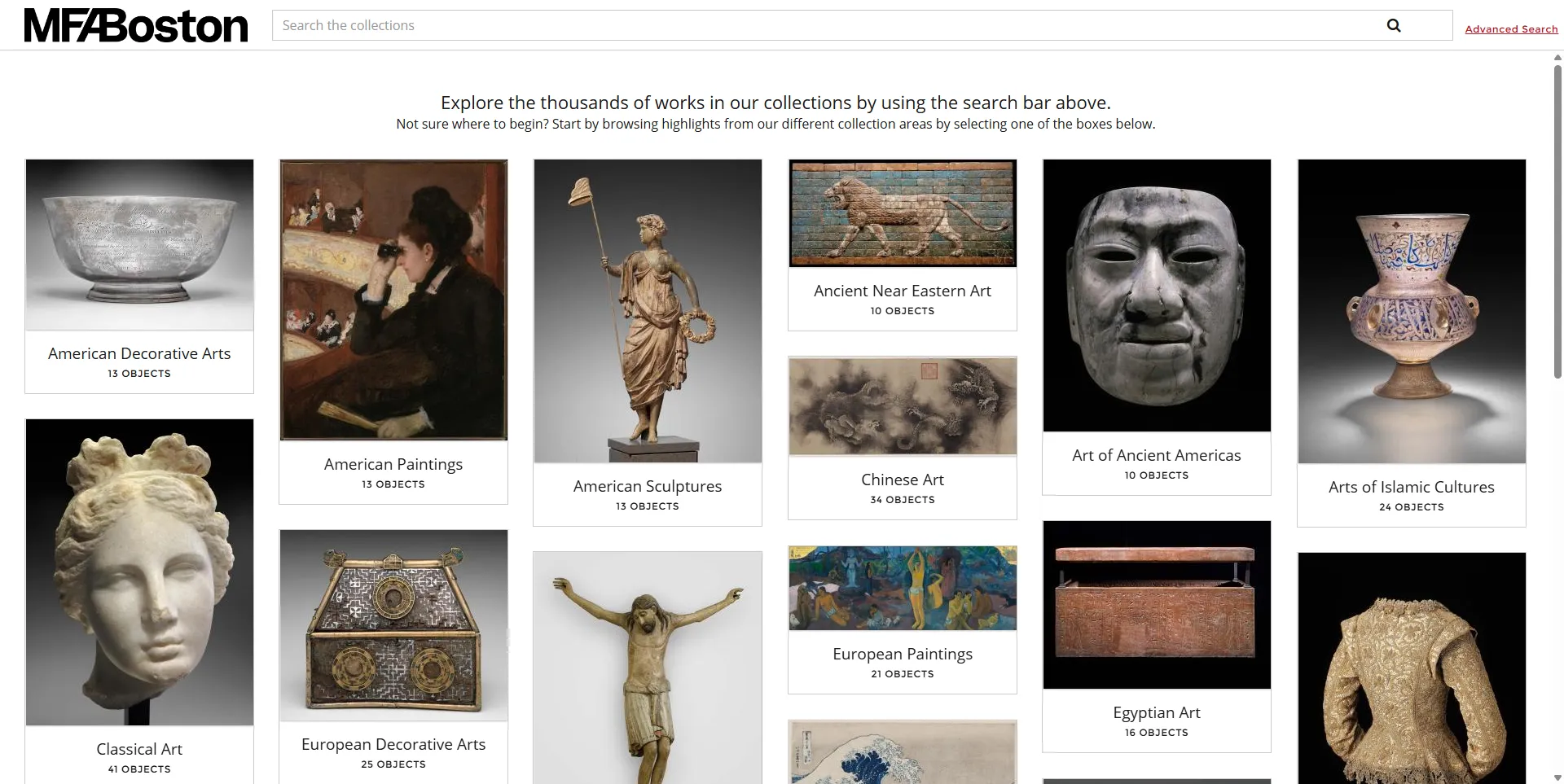
Museum of Fine Arts Boston Open Access
The Museum of Fine Arts Boston provides free open access to over 500,000 images from its encyclopaedic collection, with particular strength in American art, Asian art, and ancient Egyptian art, available under a Creative Commons Zero licence.
View details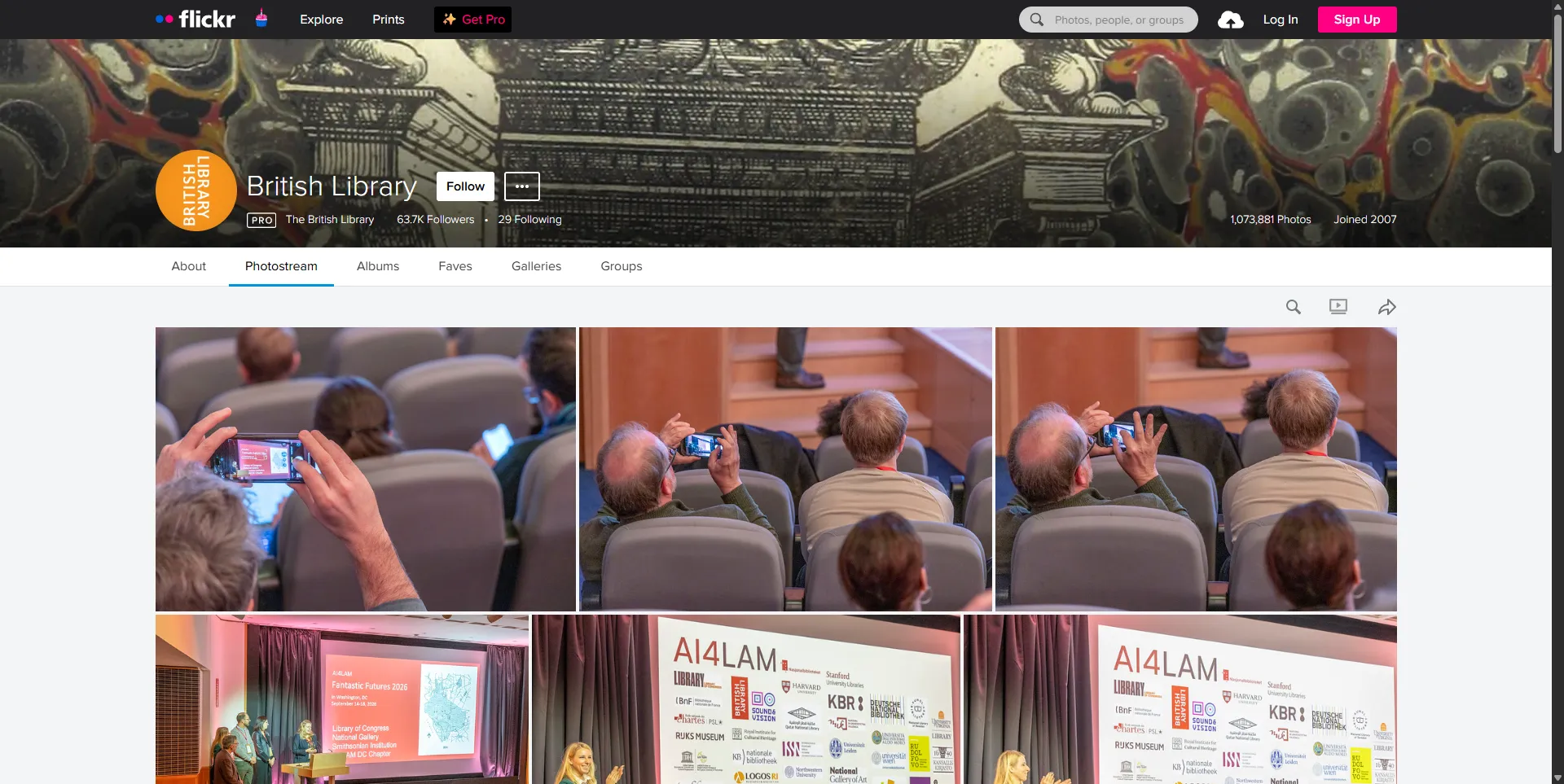
British Library Flickr Commons
The British Library has released over one million public domain images from its historical collections on Flickr Commons, covering maps, illustrations, manuscripts, and photographs spanning centuries of British and world history.
View details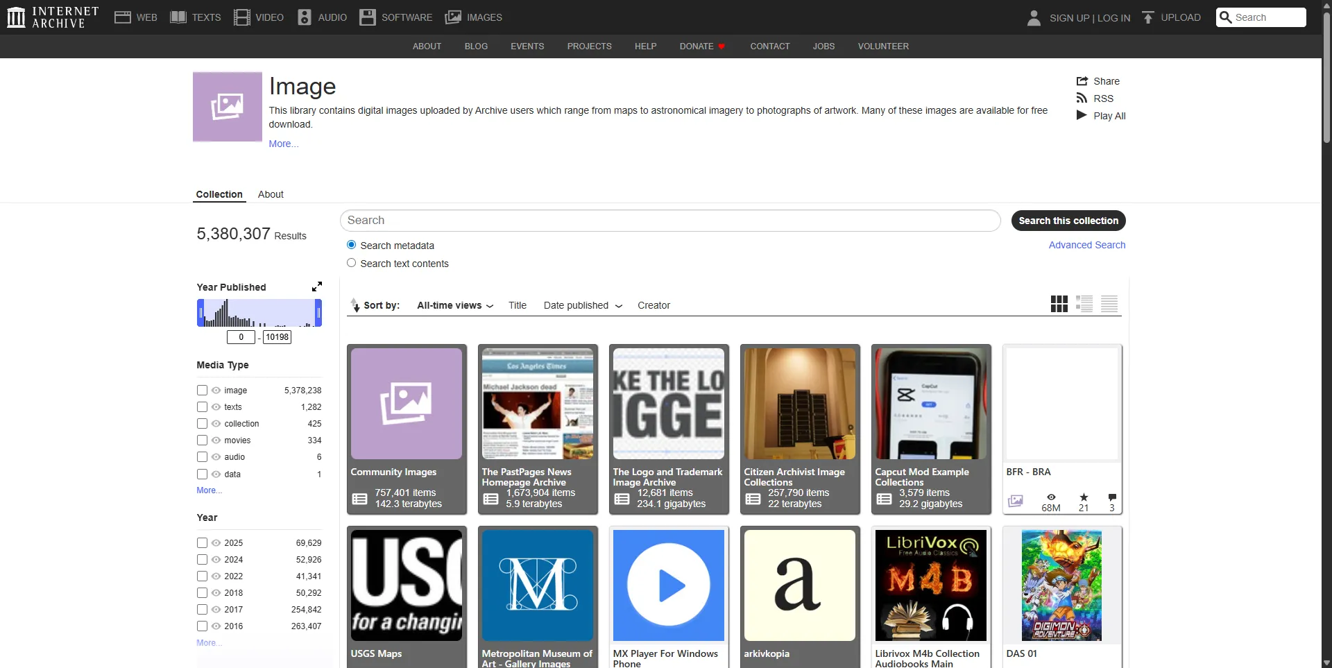
Internet Archive Image Collections
The Internet Archive hosts millions of freely downloadable images from digitised books, historical publications, and other sources, with an extraordinary range of historical illustrations, engravings, and photographs available in the public domain.
View details